


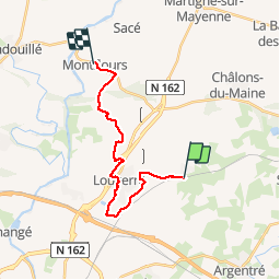


11.5 km | 12.9 km-effort


User


FREE GPS app for hiking
 SityTrail
IGN / Geographical institutes
SityTrail World
The world is yours!
Trail Walking of 16.6 km to be discovered at Pays de la Loire, Mayenne, La Chapelle-Anthenaise. This trail is proposed by Axelloceane.
Départ de L'église direction Louverné.Au niveau de la déchetterie tourner à gauche vers La Gare.Traveser la D131 et passer par le parc loisirs Ecologia et revenir à Louverné.Passer sur le pont enjambant la N 162 et suivre le balisage pour aller à Montflours.
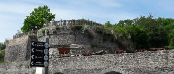
 - Photo 1")
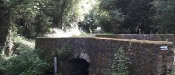
 - Photo 2")
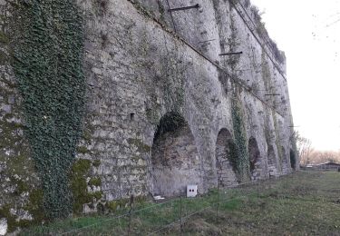
 - Photo 3")
 - Photo 4")
 - Photo 5")

Walking
Walking
Walking

Nordic walking
On foot

Walking
Walking